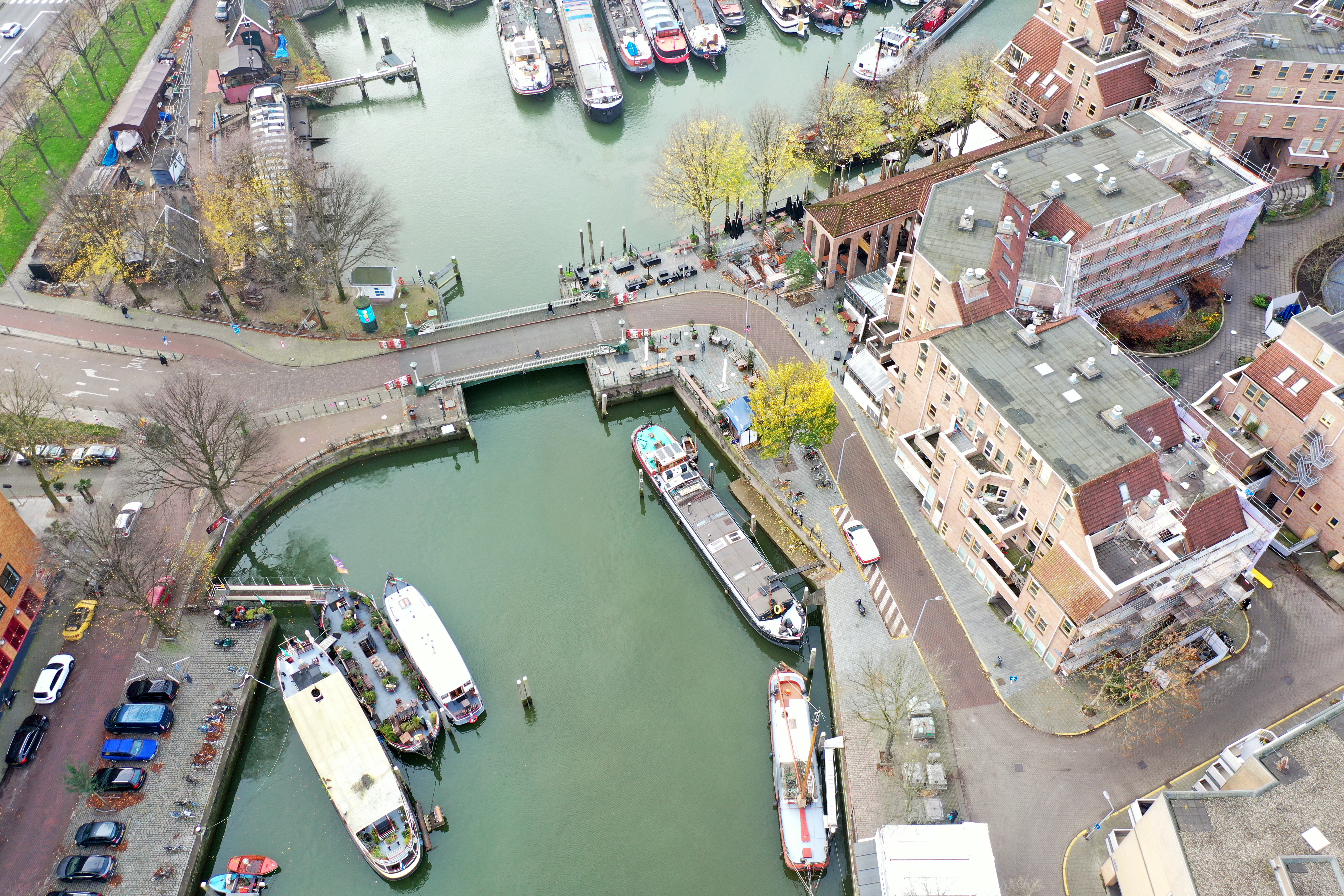
In the last week of November, we were invited to the Haringvliet in Rotterdam. The location is one of the Hertiage Foundation Ports, which are managed by Erfgoedhavens Rotterdam Foundation.
Due to it's role as a Heritage Foundation port, the Haringvliet is home to around 50 historical yachts, 60% of which are occupied houseboats. While most of the yachts are motorized, the port is also home to a number of sailing vessels.
Our invitation by an acquaintance sparked an interesting conversation in which we were asked if our technology might also be applied for maintenance and monitoring purposes within an environment such as the Haringvliet.
We agreed to give it a go, so we packed our gear and drove to Rotterdam, where we set out to map the entirety of the Haringvliet in one go.
We brought gear with us for our two main techniques of scanning; SLAM and Photogrammetry. Since this was a test run, we were mostly focused on collecting data to use for developing a proper strategy for scanning in these environments.
Initially we used our LiDAR Scanning Backpack for a quick walk around the perimeter of the port. Going at a slightly slower pace than most people would walk in order to provide more data for our algorithm to work with.
The scan of the entire port perimeter, which is just shy of 1 kilomter, took only 11 minutes to complete.
After scanning the perimeter with the backpack, we took to the skies and used our drone to collect footage of the port. This proved to be the most challenging part of the whole endeavour for several reasons.
A flock of birds relentlessly attacking the drone
Difficulties while piloting the drone through the port arose from numerous sources. Because of the multitude of tall masts in the area we weren't able to keep a consistent trajectory for our flight.
All these obstacles combined with the windy conditions made us uncomfortable relying on a pre-programmed flight path, so we opted to pilot the drone manually instead.
Something we could not have foreseen was a flock of local birds taking offense to our occupation of the airspace and launching an effort to swarm our drone and hinder our efforts.
Next time, we'll plan for these things:
- Difficult to manoeuvre environments
- Windy conditions
- Flight paths and camera angles
- Safety precautions for flying above water
- Local wildlife
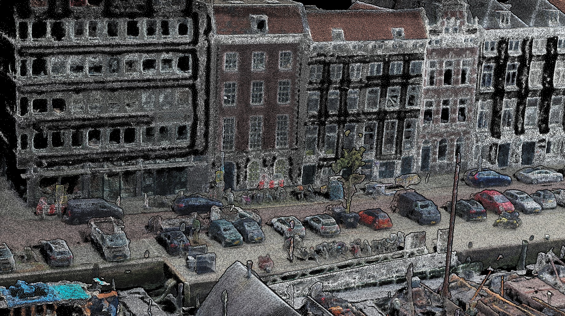
After gathering the footage, we were able to reconstruct a usable, albeit somewhat lacking three-dimensional model of the Haringvliet.
The LiDAR scan turned out to be better for certain applications, and as our algorithm continues to improve, so will the data it produces.